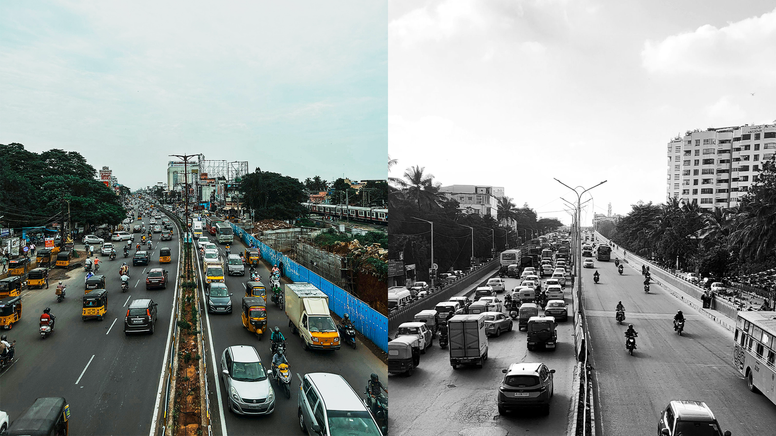
When floodwaters surge through Bengaluru’s tech corridors or spill across Chennai’s arterial roads, the disruption is swift and unforgiving. Homes are inundated, traffic sputters, businesses halt. Each time, early warning systems forecast the rain. Yet, the cities drown.
Forecasting, considered a sine qua non of disaster management, can predict disaster, but cannot prevent it.
Now, researchers from the Indian Institute of Science (IISc) and the Indian Institute of Technology-Madras (IIT-M) are attempting something more ambitious. Under a pilot project, they are building what could become India’s first digital twins for flood control: living, virtual replicas of entire urban systems designed not just to anticipate floods, but to understand precisely why they happen and how to stop them.
Trials are underway in two flood-prone localities, Madiwala in Bengaluru and Tambaram in Chennai. If successful, the models will be scaled up across both cities. Multiple studies have already blamed poor urbanisation, and to some extent climate change, for recurrent flooding in these metros. The digital twin seeks to move from blame to diagnosis.
Due to unplanned urbanization, the current drainage system in Bengaluru cannot handle intense rains, which, on some days, are more than 100mm pouring down within a short period, said Rajarshi Das Bhowmick, Assistant Professor, and Nruthya Kishore, Project Scientist at IISc, who are leading the Bengaluru project. “So, now the only rescue point is technology,” they said.
Building a city, pixel by pixel
With digital twins, researchers are creating virtual replicas of the two locations, based on data captured from satellites, airplanes, sensors, government departments and communities, including every legal and illegal structure. The project also takes into its fold data from municipality services, including on the drainage system, solid waste disposal and natural landscapes.
The digital twins for flood management are primarily based on two types of data: dynamic and static. Dynamic data, as the name implies, keep changing – such as weather and municipality services; while static data are fixed – such as infrastructure and natural landscapes.
When fed into a model, these data reveal the exact cause of a flood by computing a slew of variables including drainage capacity, maintenance gaps, rainfall intensity, and obstructions to natural water flows.
At Tambaram in Chennai, a part of the data will come in real time from new sensors, said Balaji Narasimhan, Professor, Department of Civil Engineering at IIT-M, which is developing Chennai’s digital twin. The real-time feed will enable the system to detect where floodwaters are being obstructed and recommend which pumps to activate to drain excess water.
These digital twins, their creators say, are acutely sensitive to change: add a house, a flyover or a boundary wall, and the system recalculates how water will flow. “There are infinite possibilities that could be added, which could be also helpful for city planners,” said Rajarshi. “Imagine a proposal to construct a flyover to ease the city’s traffic congestion. When we feed in the flyover data into the digital twin, it will tell us how it’s going to affect flooding in the locality.”
Yet, such precision depends on the completeness of the underlying data.
“It’s imperative to collect data on every tree and tiny shack to ensure the accuracy of the project,” Rajarshi said. For this reason, researchers are involving communities in gathering micro and macro data of their localities. “And identify natural sponges, such as lakes and wetlands crucial for urban flood management.”
IISc’s prototype, Rajarshi says, will be “light-weight” – it could be opened on a desktop.
Elsewhere in the world, cities such as Singapore, Helsinki, Des Moines and York are already using digital twins for urban planning, cutting costs and improving foresight. Bengaluru and Chennai are now testing whether similar systems can confront India’s uniquely chaotic urban spaces.
Why do Bengaluru and Chennai keep flooding?
Bengaluru was once known as the “City of Lakes.” Its water bodies were interconnected, forming a natural drainage and storage network that buffered heavy rainfall.
“The interconnected lakes channelled and stored excess rainwater, prevented floods, and boosted groundwater level,” said Rajarshi. “Since the city has no major river, these lakes acted as a lifeline for the city’s water management.”
Over the last two decades, 65 lakes have disappeared. As the city’s built-up area expanded, haphazardly, from 37.4% in 2002 to 93.3% in 2020, natural landscapes shrank. Stormwater drains were not expanded proportionately, even as the population spiralled to 14.3 million in 2025 from 8.3 million in 2010.
Where wetlands once absorbed monsoon runoff, concrete now seals the ground.
Chennai’s trajectory mirrors Bengaluru’s in many ways, but with one crucial difference: it has a major river.
“In case of intense rainfall, the river swells and instead of taking in excess rainwater, backwater pushes the rainwater into the city, causing intense floods,” said Balaji.
Chennai has more than 150,000 illegal structures, and over 300 tanks, canals and lakes have vanished, replaced by IT parks and commercial complexes built on former flood buffers.
The consequences were devastating in 2015, when catastrophic floods killed around 269 people in the state. While climate change was widely cited, researchers offer a more complex view.
“Climate change has little role to play in Chennai’s flooding,” Balaji said. “A city should first develop its drainage pathways according to its expansion plan and also consider changing rainfall patterns due to climate change.”
The digital twin aims to test such assumptions rigorously. It can simulate rainfall scenarios, model drainage stress points and reveal how encroachments or infrastructure decisions amplify risk.
No silver bullet
Each flood season brings promises of reform. During Bengaluru’s 2024 floods, Karnataka’s Deputy Chief Minister announced lake reconnections, construction bans near drains, desilting drives and removal of illegal structures. Yet the city flooded again in 2025.
Can digital twins break this cycle of reaction and relapse?
“I might be biased, but I’m hopeful,” said Puneet Badrinath, founder of Fabrik, a start-up working with IISc on Bengaluru’s digital twin. While enforcement by government departments has always been a challenge, primarily due to a lack of centralization and visibility of data for all the agencies, he adds, “Digital twin will centralise the data and help government departments to coordinate effectively on the issue.”
The technology promises something more than better modelling: visibility. A unified platform where drainage maps, rainfall data, encroachments and infrastructure plans converge, and are made clearly visible. Researchers say future versions of their digital twins could include public-facing dashboards that identify the causes of flooding, placing accountability on governments, encroachers and developers.
Whether these models will succeed will depend on what lessons are drawn from them, and whether these lessons result in improved governance.
“The solution is not a choice between active governance or technology, but rather the integration of both,” said Nitin Bassi, a fellow at Council on Energy, Environment and Water (CEEW).
Bassi cites the success of CEEW’s flood risk management action plans in Thane and Navsari. Acting on CEEW’s research and advisory, both cities are setting up Integrated Command and Control Centres linked to Automatic Weather Stations and Flood Early Warning Systems.
Thane, he says, expanded its regional disaster management cell to handle flood risk, using ward-wise rainfall dashboards and deploying dewatering pumps, emergency vehicles and rescue boats in flood-prone wards – ahead of time – when extreme rainfall was anticipated.
The Bengaluru and Chennai digital twins’ success could hold up a model for other Indian cities. But, the digital twins will only be as honest as the data they receive and as powerful as the governance that listens.
And these variables, ultimately, will determine if the next flood is merely forecast, or finally, forestalled.
Alok Gupta is a Delhi-based freelance environment journalist. He has reported from the US, China and Hong Kong.
Inspired to Take Action?
Tl;dr: A summary for the busy, the curious, and the done-for-today
Flooding in cities like Bengaluru and Chennai persists despite accurate forecasts, because prediction alone cannot address underlying causes like poor drainage and unplanned urbanisation.
Researchers from IISc and IIT-M are piloting digital twins – detailed, data-driven virtual replicas of cities to diagnose exactly why floods occur and simulate how to prevent them.
These models combine dynamic (e.g. rainfall, real-time sensors) and static data (e.g. infrastructure, land use) to identify bottlenecks, test scenarios and guide planning decisions like new roads or drainage systems.
Urban flooding is largely driven by human factors: loss of lakes and wetlands, encroachments, inadequate drainage and rapid urban expansion, with climate change exacerbating it.
Digital twins could improve coordination, planning and accountability, but their success depends on high-quality data and strong governance to act on insights, not just generate them.